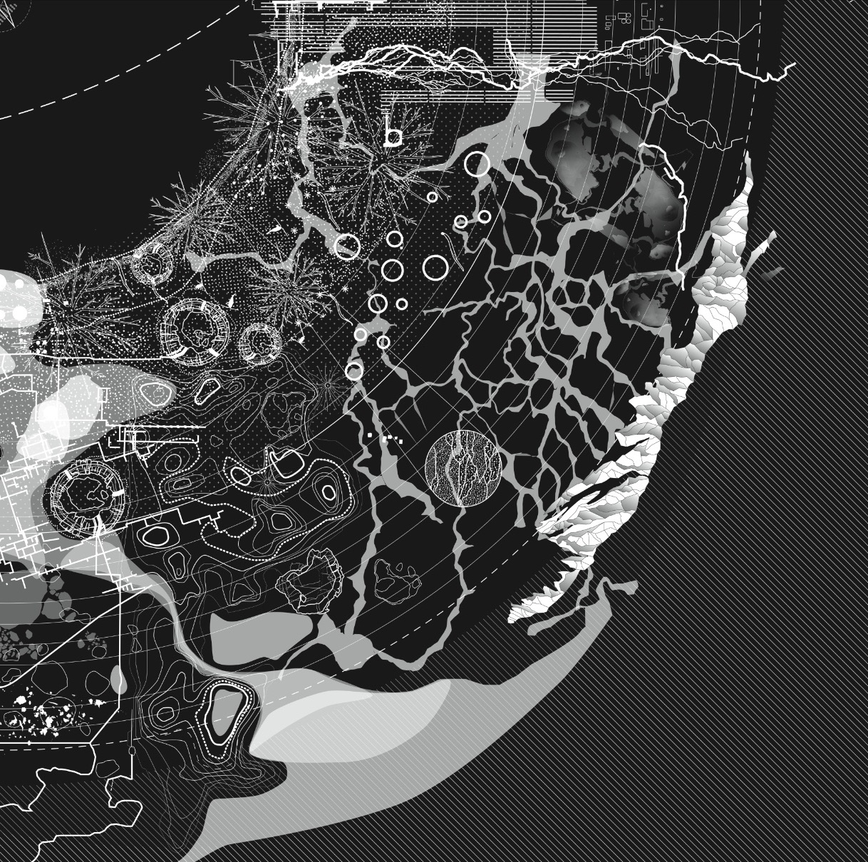
Observations, notations, conceptual models for a gaia-graphy of the critical zones
by Alexandra Arènes
on November 15, 2019
How is a model crafted? What are the links with what informs it, the field observations? The Critical Zone visualization project requires several explorative attempts to grasp this elusive object, the skin of the Earth, and to suggest a provisional model to read the traces of life. Following geoscientists in the field, inventing notation systems for instruments, retelling stories of soil making, collaborating on the design of chemical cycles, are all methodologies to generate potential maps of the Critical Zone.
About Alexandra Arènes
I am a landscape architect at SOC and a researcher at the University of Manchester where I am preparing a PhD. My work revolves around cartographic tools. Here my bibliography: Terra Forma, Manuel de Cartographies Potentielles, with Frédérique Ait-Touati and Axelle Grégoire. Edition B42. 2019 “Giving Depth to the Surface – an Exercise in the Gaia-graphy of Critical Zones”, The Antropocene Review, 29 June, 2018, with Bruno Latour and Jérôme Gaillardet. 2018

